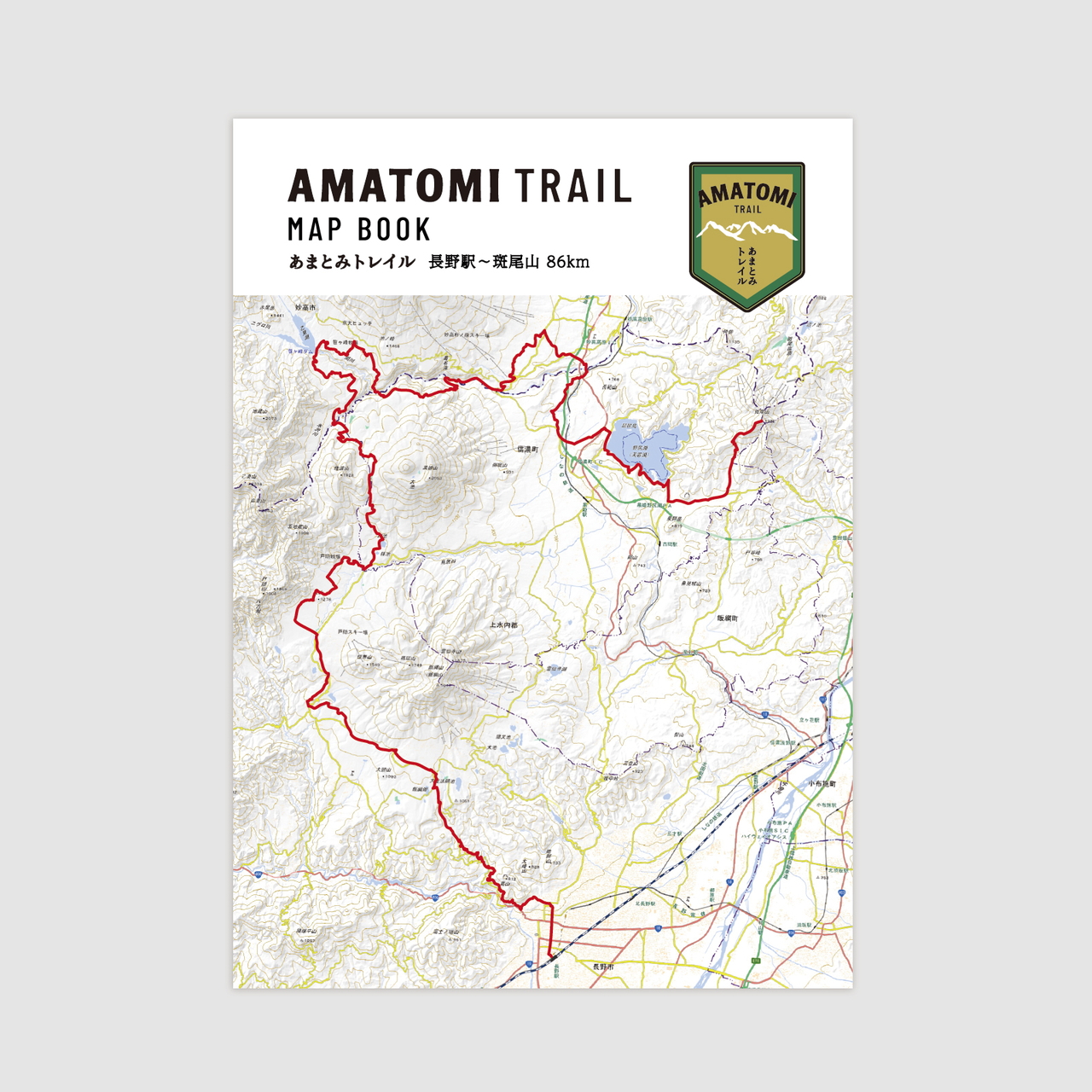
一目五山の道を行く

あまとみトレイルのルート

全長約86kmの歩く旅

妙高戸隠連山国立公園連絡協議会のHPより引用

01. トレイル概要

戸隠~長野市エリア

長野駅から善光寺を経て、戸隠への参詣道 (戸隠古道)を通り、飯綱高原、戸隠高原へと至るエリア

見どころ

笹ヶ峰~妙高市エリア

黒姫山麓を通過し、氷沢橋を越えると妙高エリア。笹ヶ峰高原を経て関川まで。また苗名滝、いもり池-関川関所を結ぶ。

見どころ

野尻湖~信濃町エリア

野尻湖周辺から斑尾山頂-信越トレイルを結ぶエリア。また黒姫山麓を介して戸隠エリア、妙高エリアを結ぶ

見どころ

02. MAPBOOK

トレイルを歩く際はコンパスとともに携帯してください。

水場やランドマークの情報、標高データなど、トレイルを歩く際に必要となる情報を冊子にまとめています。

¥1,650(税込み)(送料全国一律¥185)
03. GPSデータ

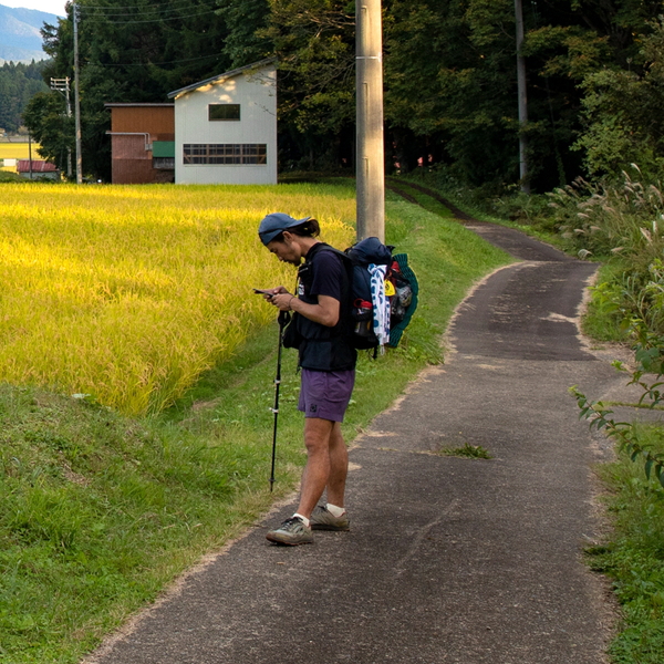
お手持ちのスマートフォンやGPS端末にGPSデータを入れて持ち運ぶことで、現在地を確認しながら歩くことができます。

道標の位置情報もあり、分岐点での確認に大変便利です。

妙高戸隠連山国立公園連絡協議会のホームページからKML、GPXデータをダウンロードしてください。
04. 現地での歩き方

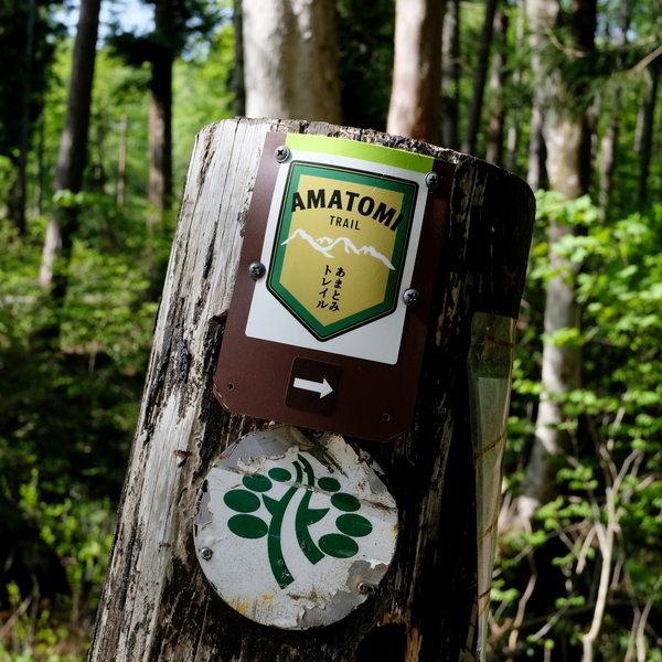
現地にはあまとみトレイルのロゴマークを記載した道標が設置してあります。

道標のみで歩くことはできませんので、別途MAPBOOKやGPSをご利用ください。

雪の重みなどにより剥がれている場合や、道標が朽ちている場合もあるのでご注意ください。

Privacy Settings
We use cookies to enhance your experience while using our website. If you are using our Services via a browser you can restrict, block or remove cookies through your web browser settings. We also use content and scripts from third parties that may use tracking technologies. You can selectively provide your consent below to allow such third party embeds. For complete information about the cookies we use, data we collect and how we process them, please check our Privacy Policy
Youtube
Consent to display content from - Youtube
Vimeo
Consent to display content from - Vimeo
Google Maps
Consent to display content from - Google
Spotify
Consent to display content from - Spotify
Sound Cloud
Consent to display content from - Sound
オンラインストア
マップブック販売店
整備協力金のお願い
あまとみハイカーズコミュニティ